Takayama to Gujo Hachiman
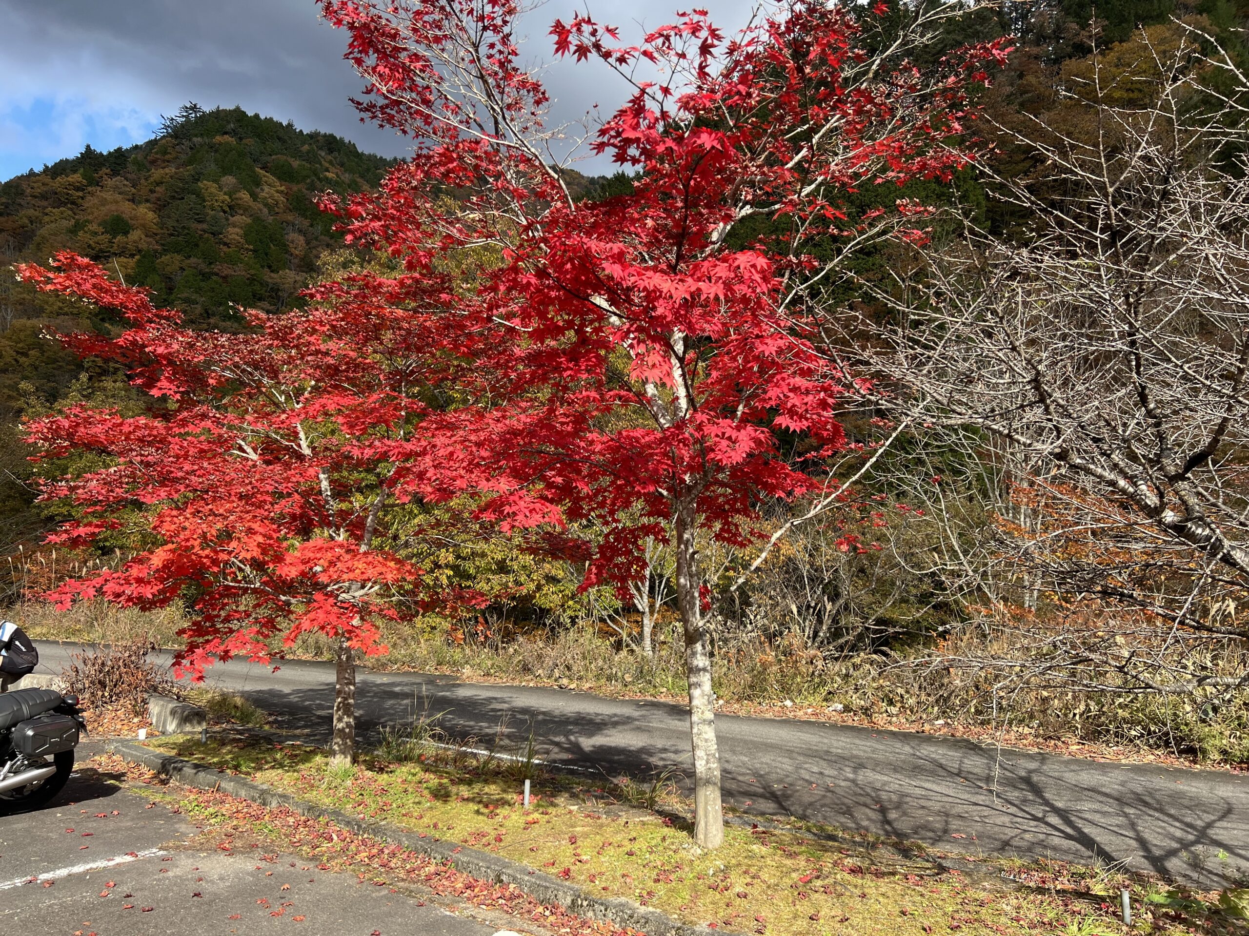
Beautiful autumn colours today! The road was busier as it’s a popular place to come to see the autumn leaves, with good reason.
We started with the usual buffet breakfast. Meh, but coffee decent. Starting a cold, have had a scratchy throat the last couple of days and was hoping it wouldn’t develop into anything much. Had a look at the profile today and cringed – not feeling well, wasn’t sure I was up to another day of climbing (879 m elev gain and 77 km in the trip notes).
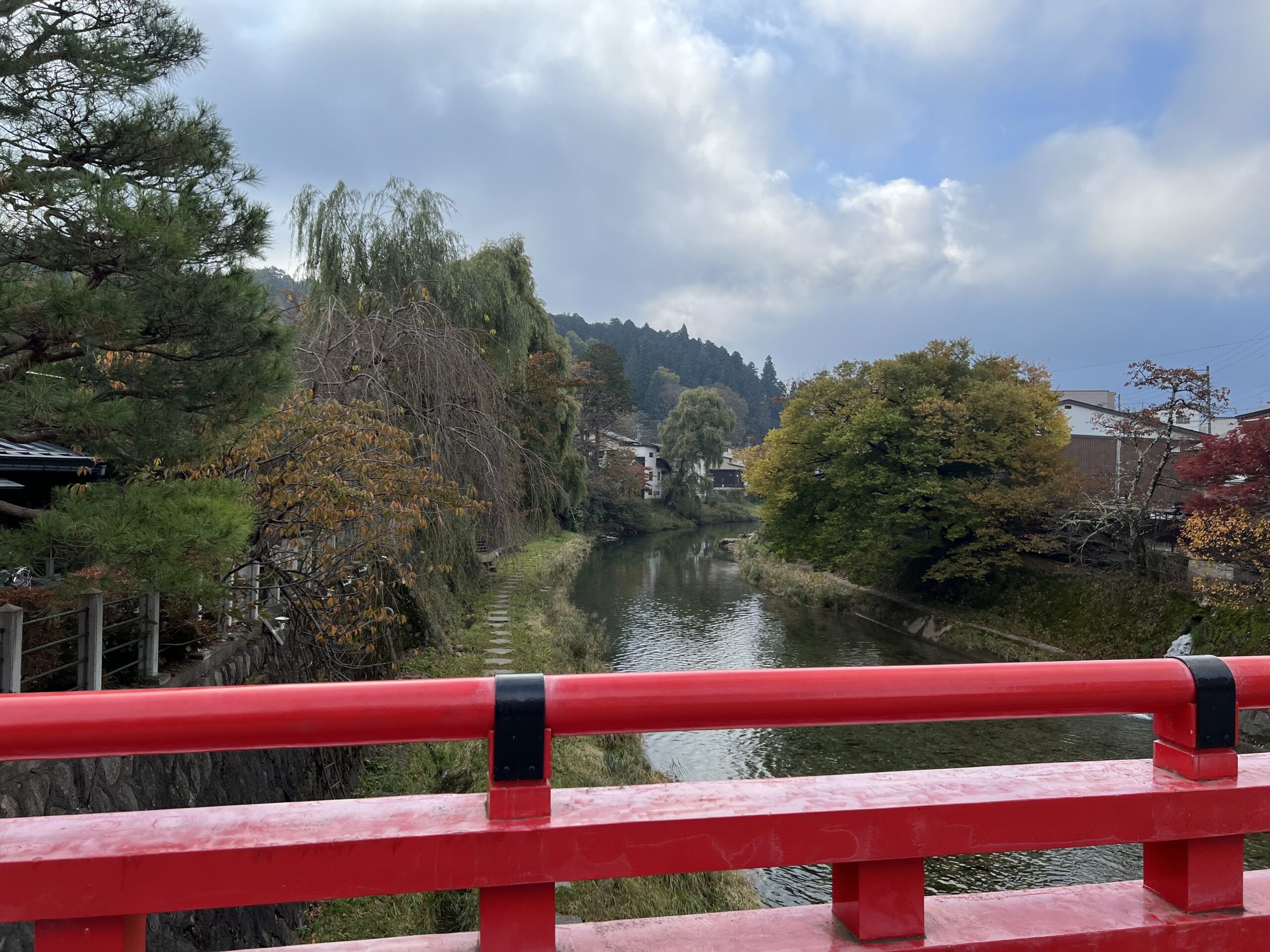
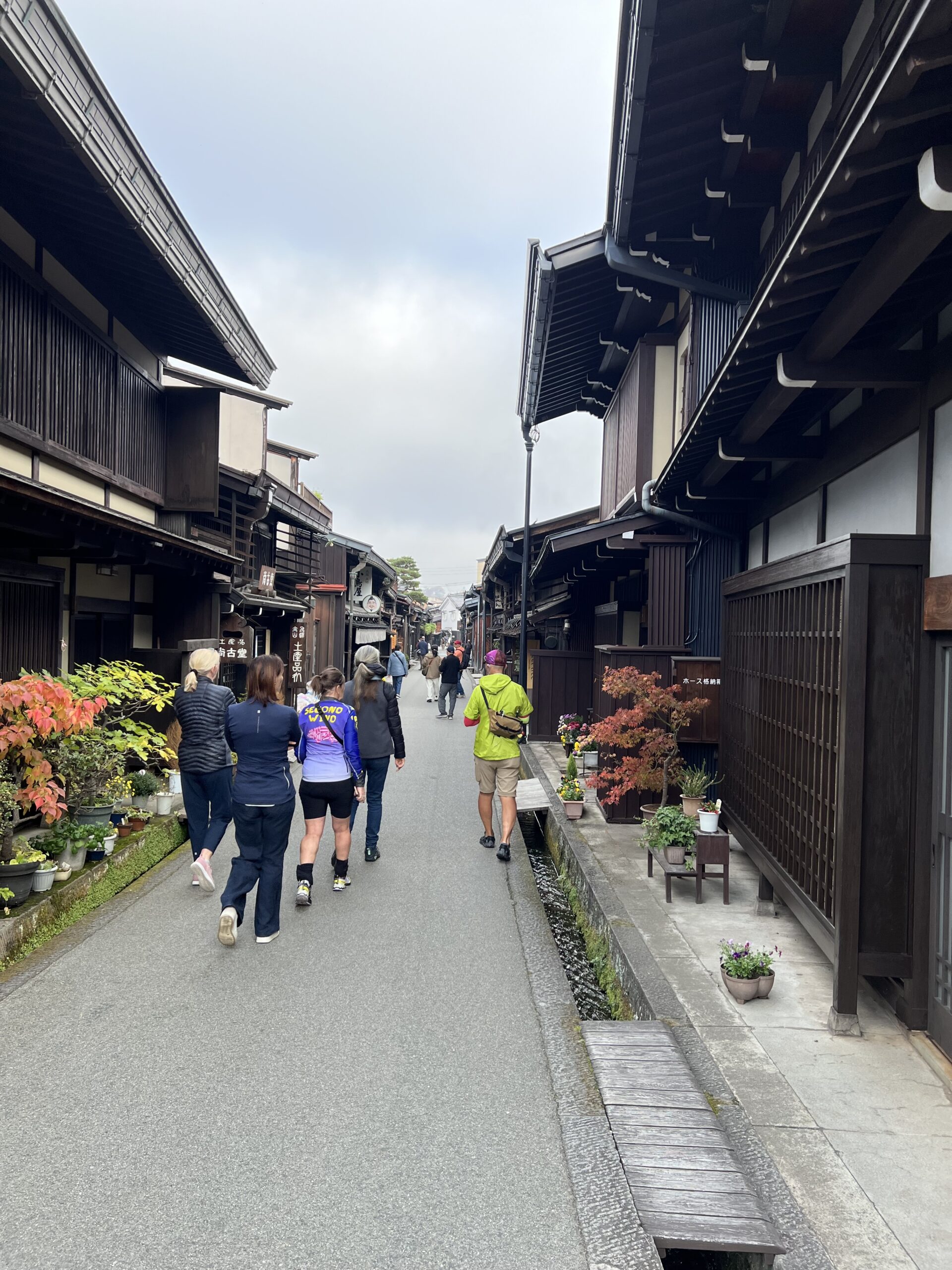
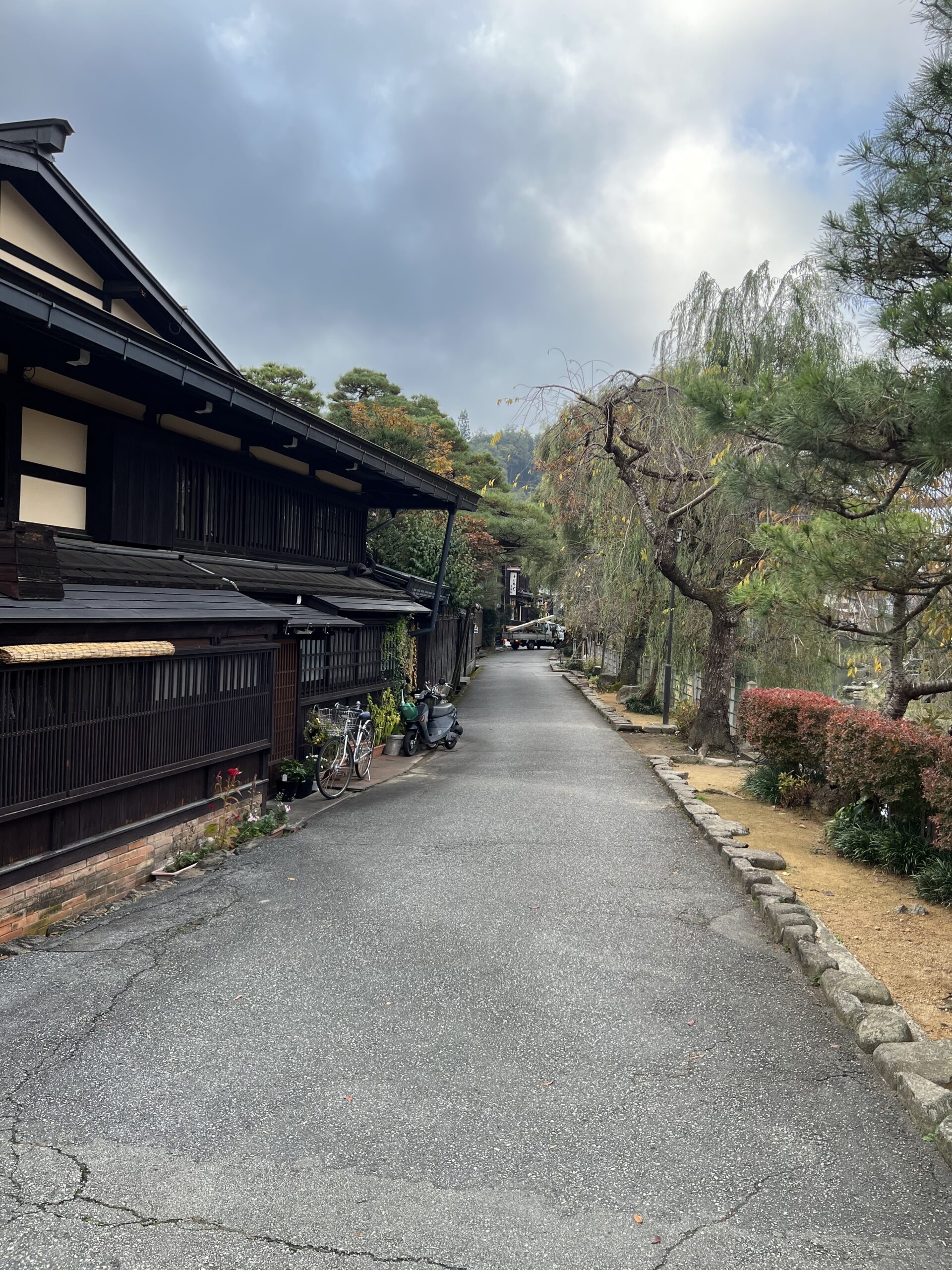
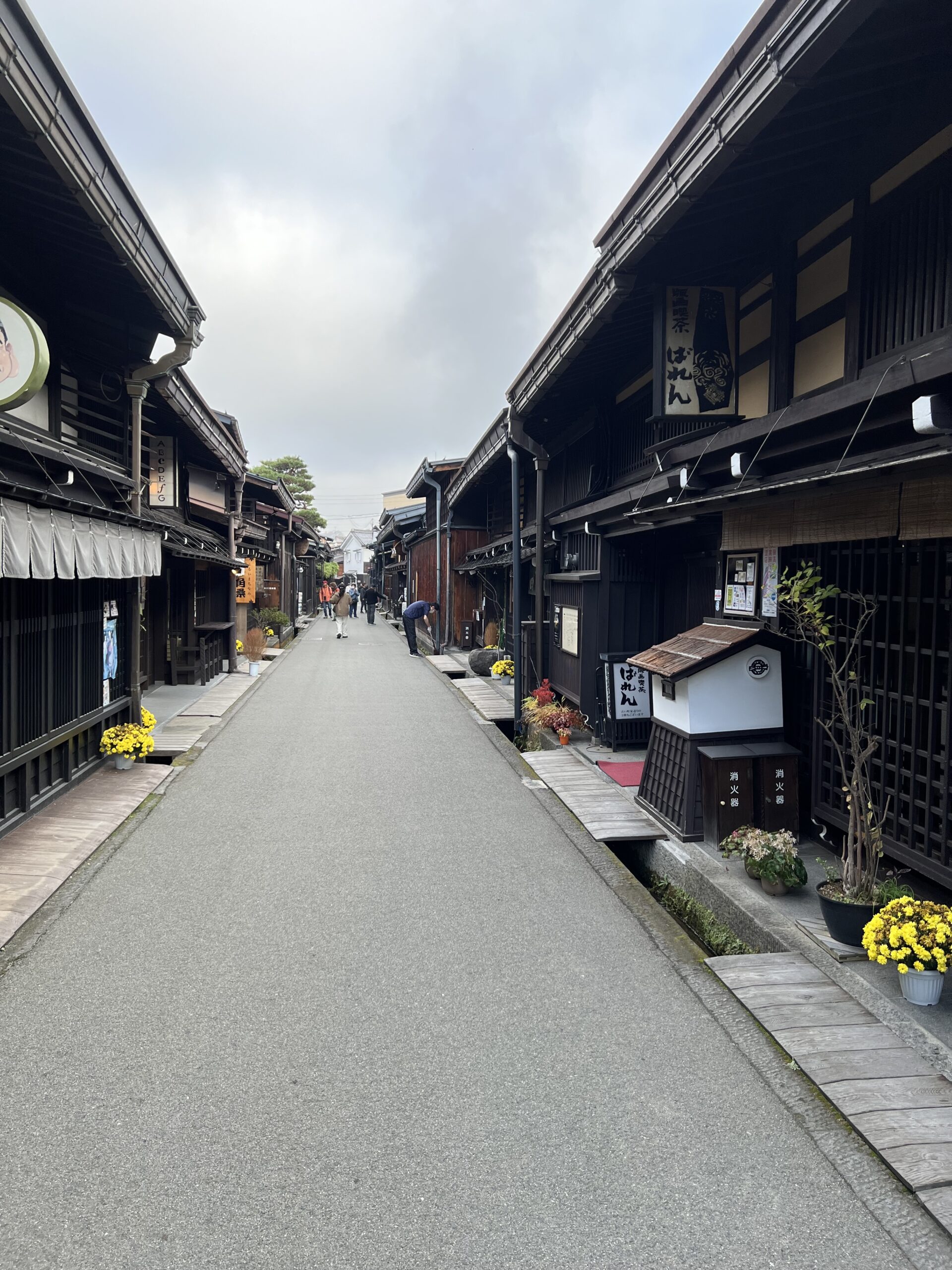
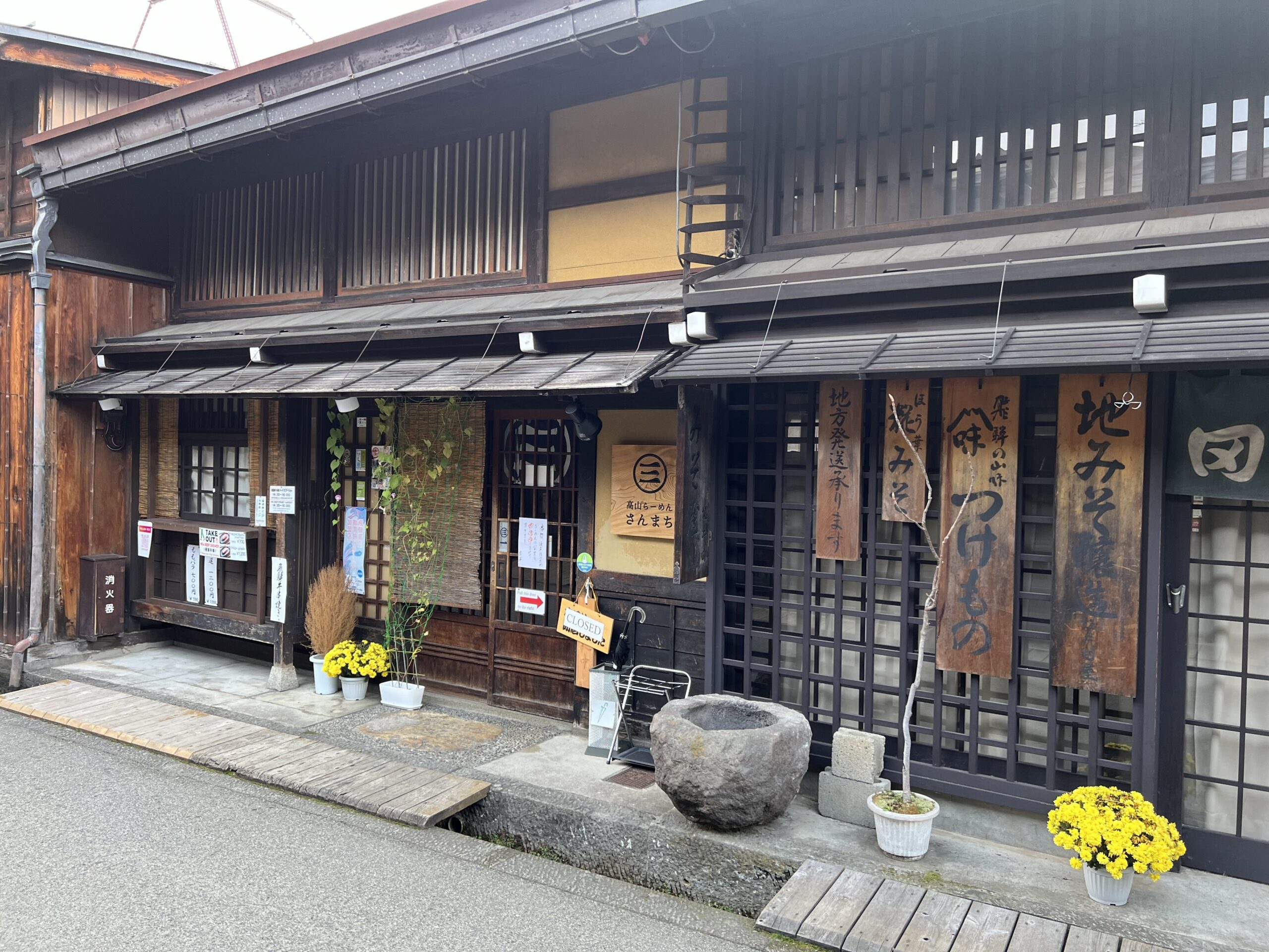
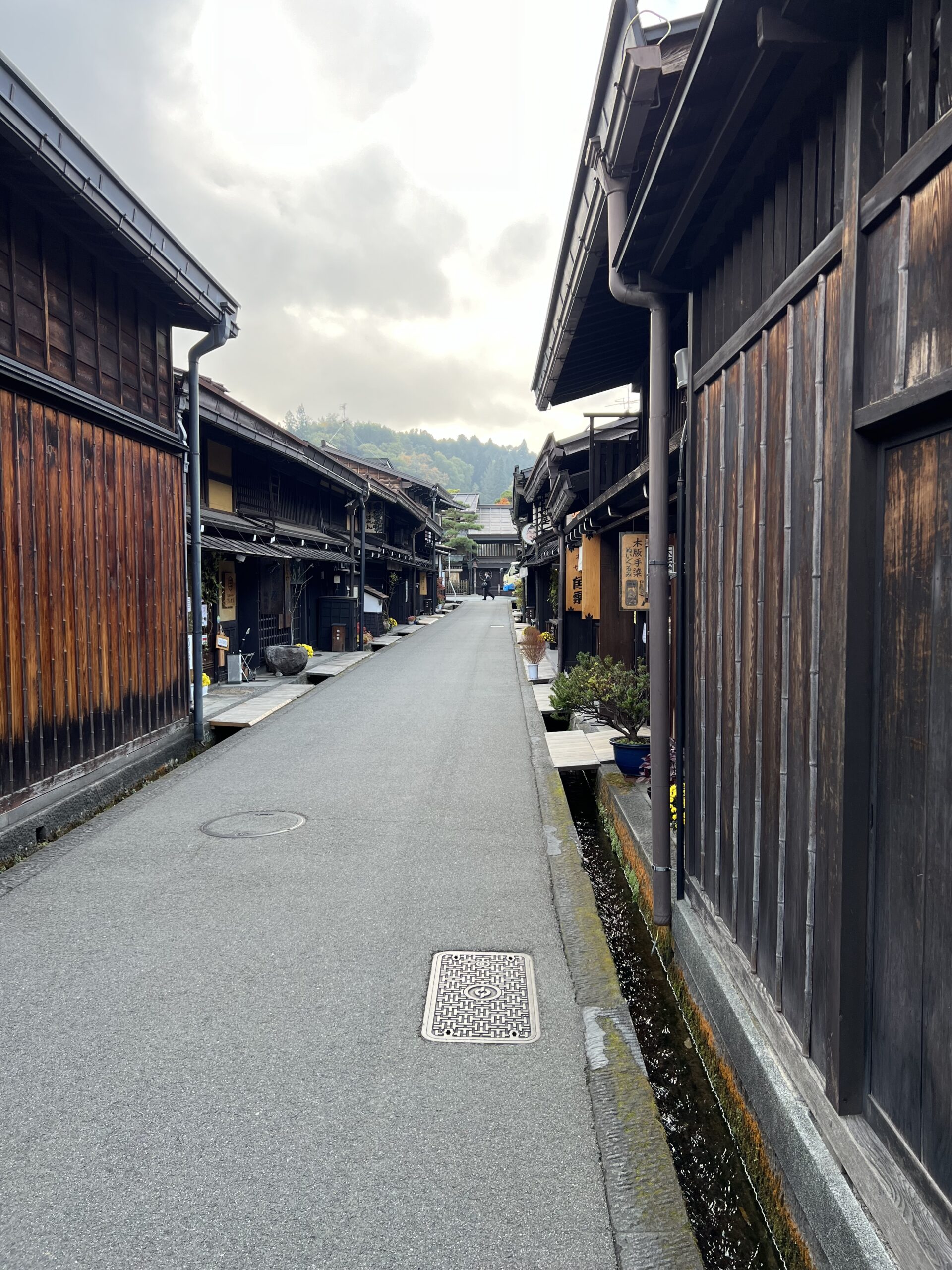
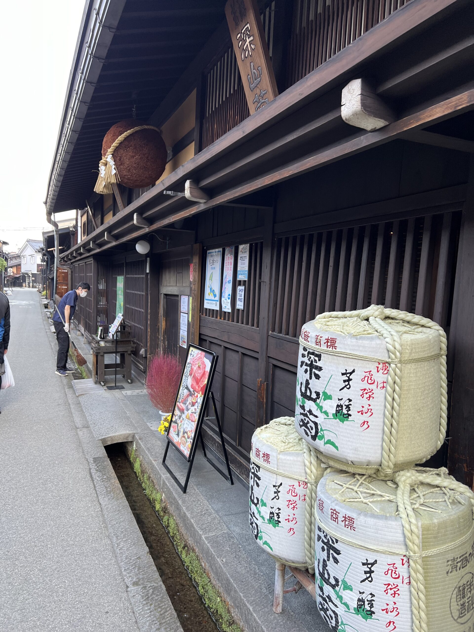
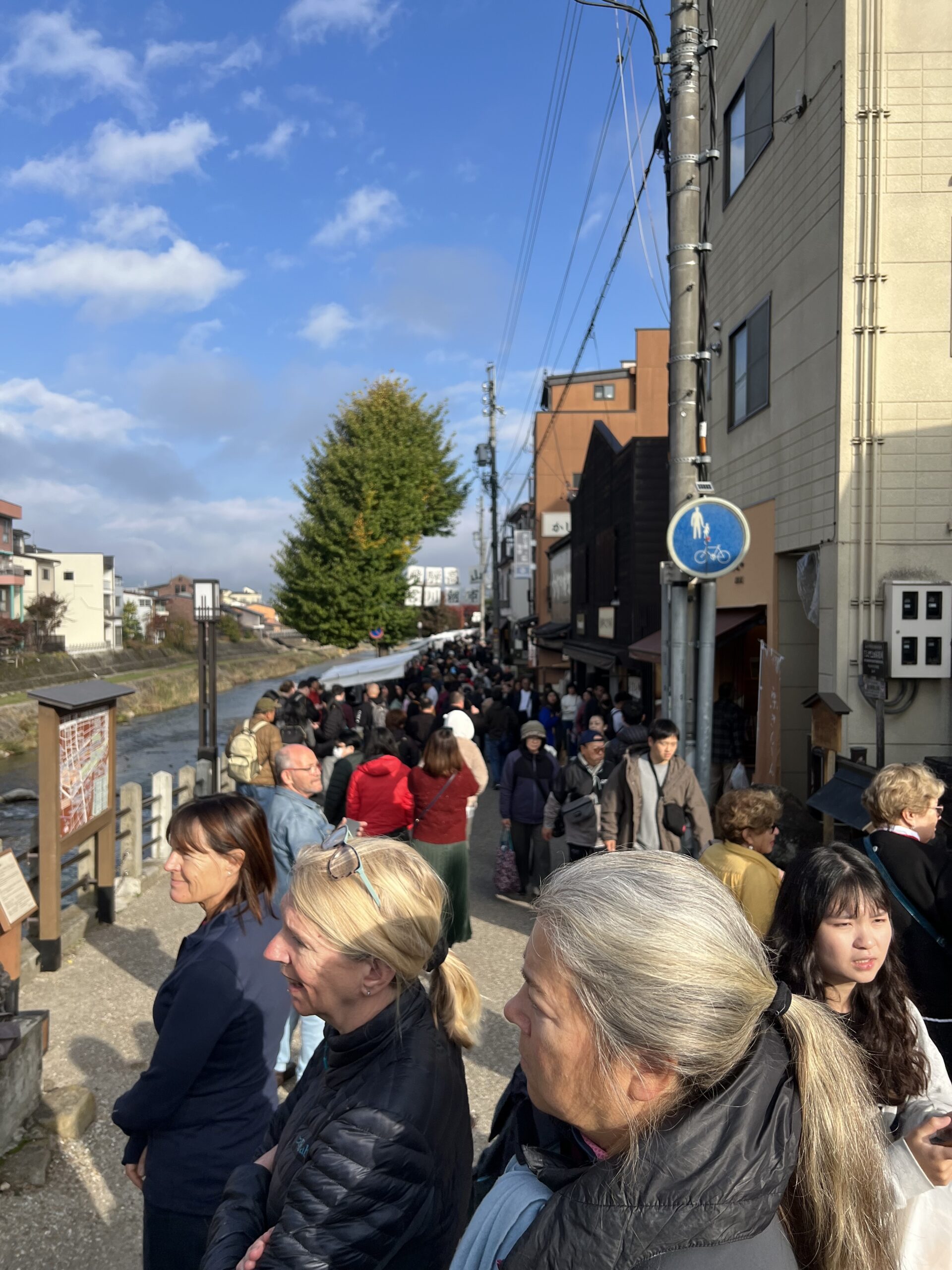
We had an hour to walk around Takayama first, part of the Hida region, which is sometimes referred to as “Little Kyoto” as its’ streets are based on the Kyoto map. Takayama is in the Gifu prefecture, located in the heart of Hida mountains in the Japanese Alps. Its full name being Hida-Takayama, this ancient feudal city is now an increasingly appreciated rural and historical touristic destination. They are known for sake brewing, morning markets, crafts and old buildings that have been preserved. It was indeed pretty, albeit over run with tourist groups (the usual, following in a queue behind a flag).
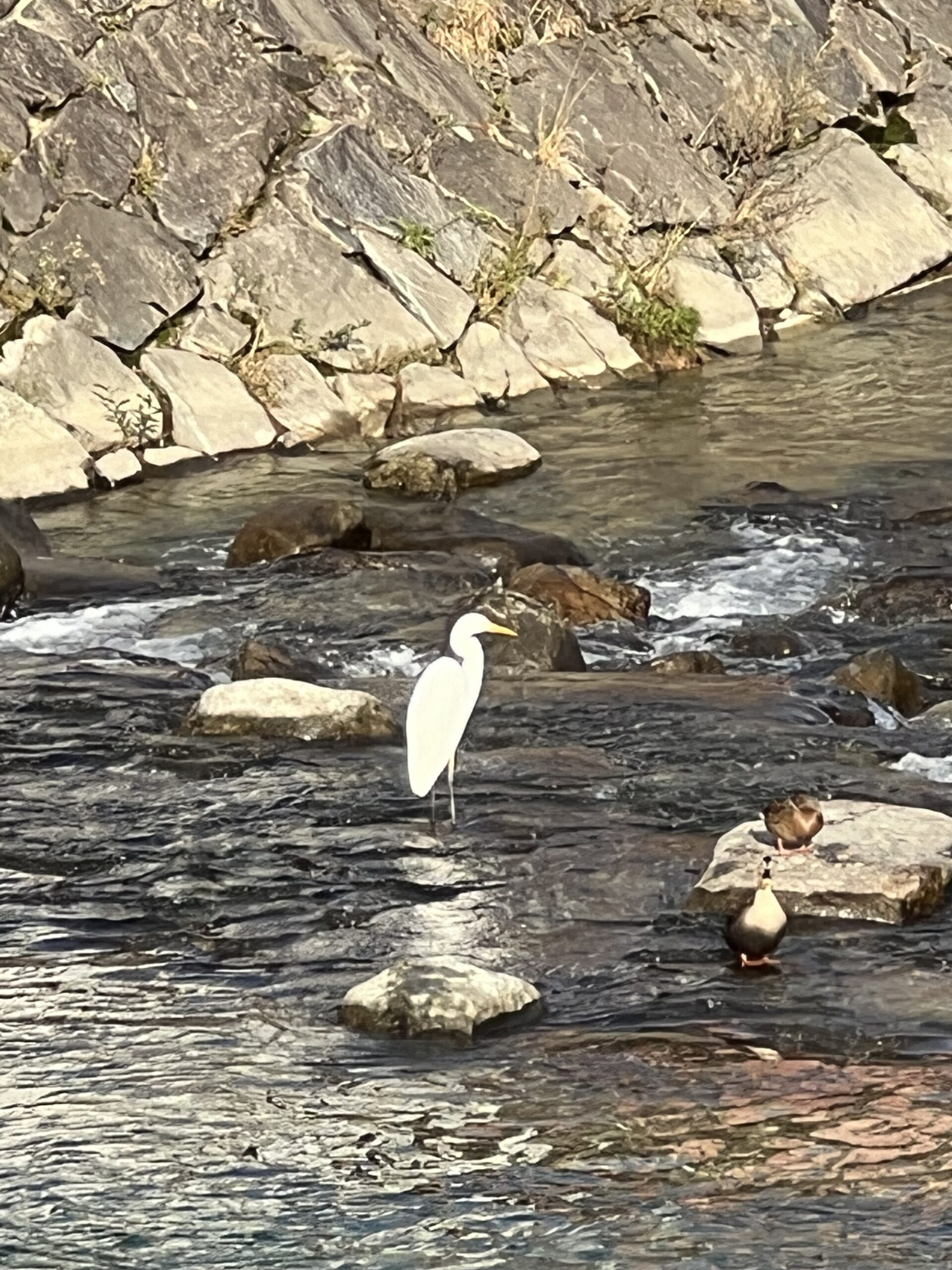
crane in the river
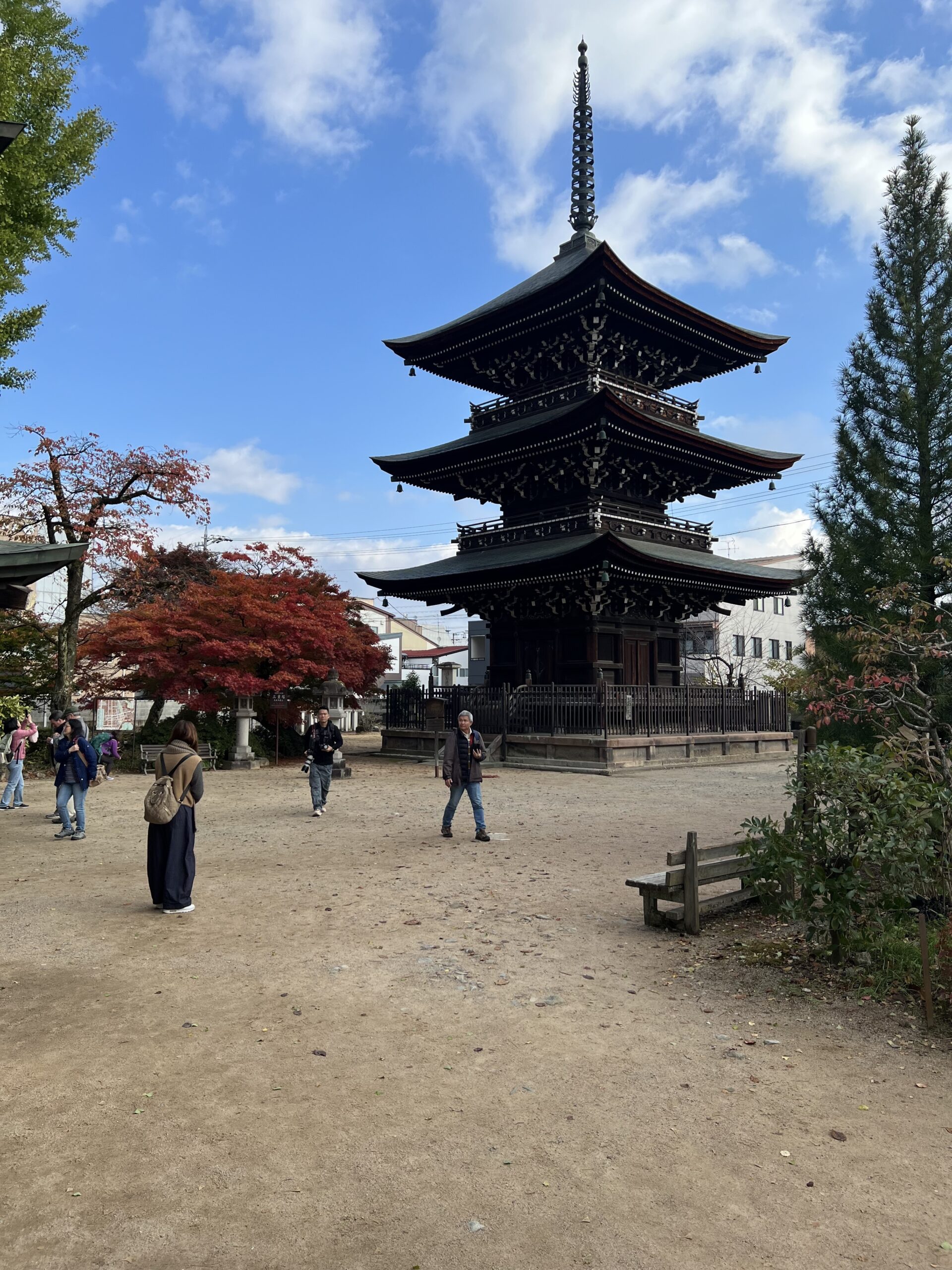
Buddhist temple
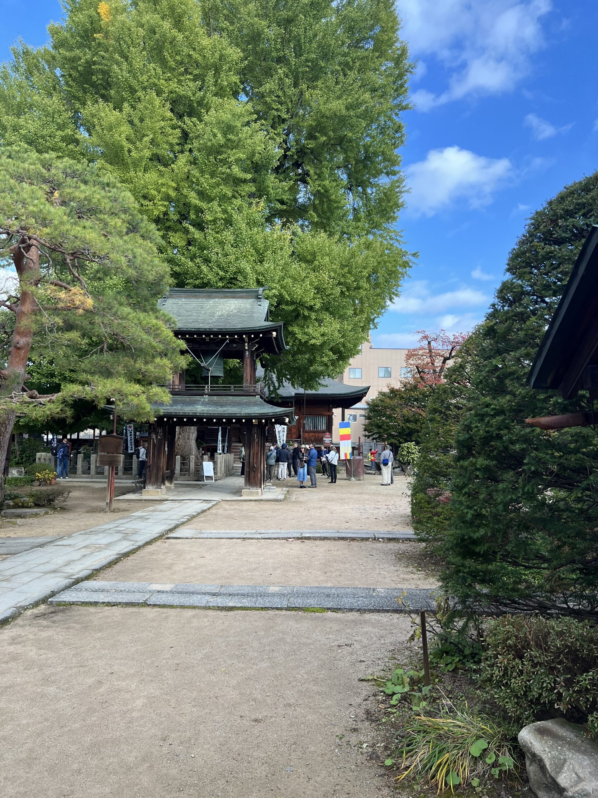
too early for this huge old gingko tree to be coloured
Charming historical section with preserved buildings and some sake breweries
sake brewery
the riverside market was already crazy busy at 8:30 a.m.
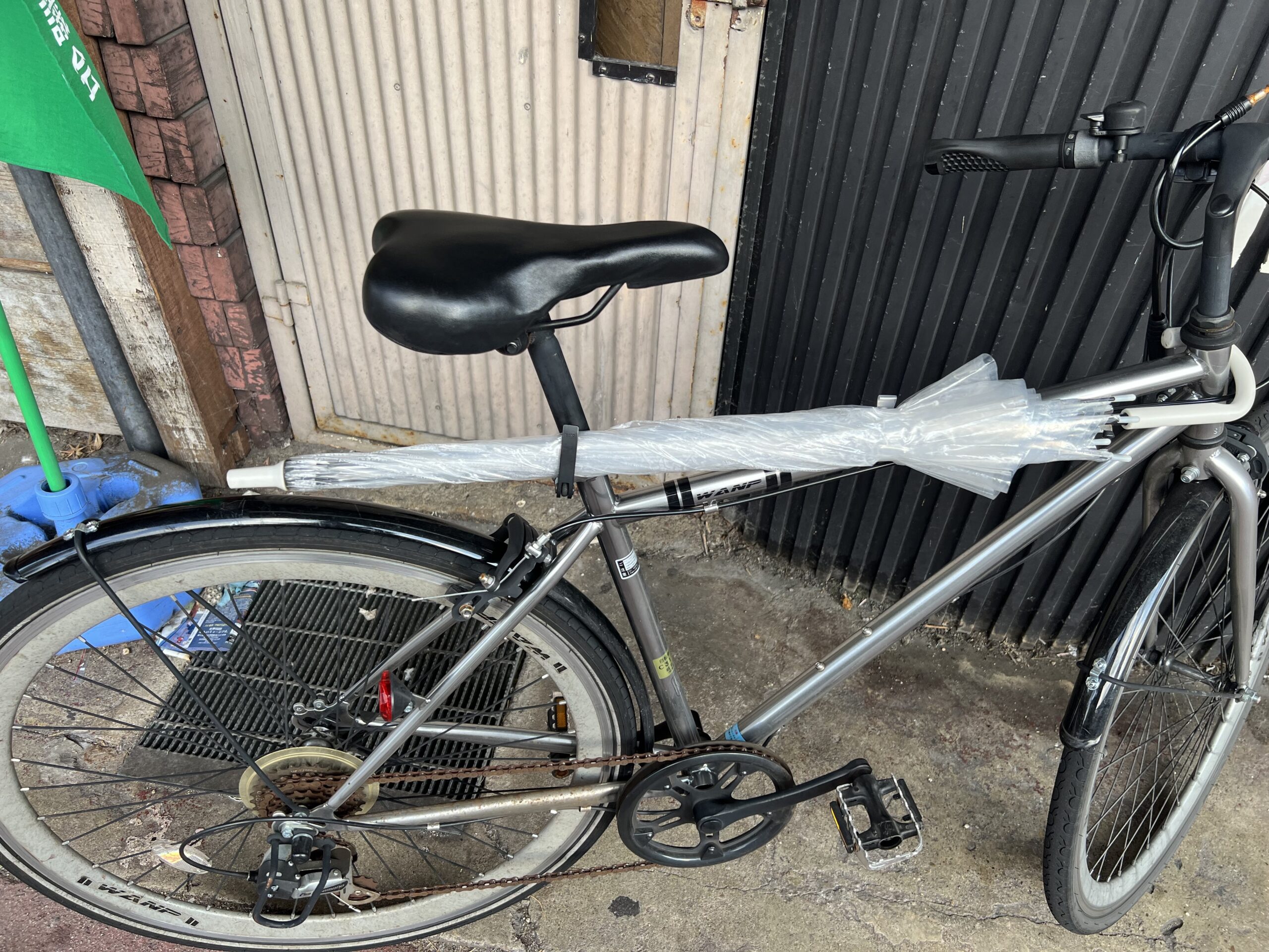
walking back to the hotel I admired this innovative umbrella carry system
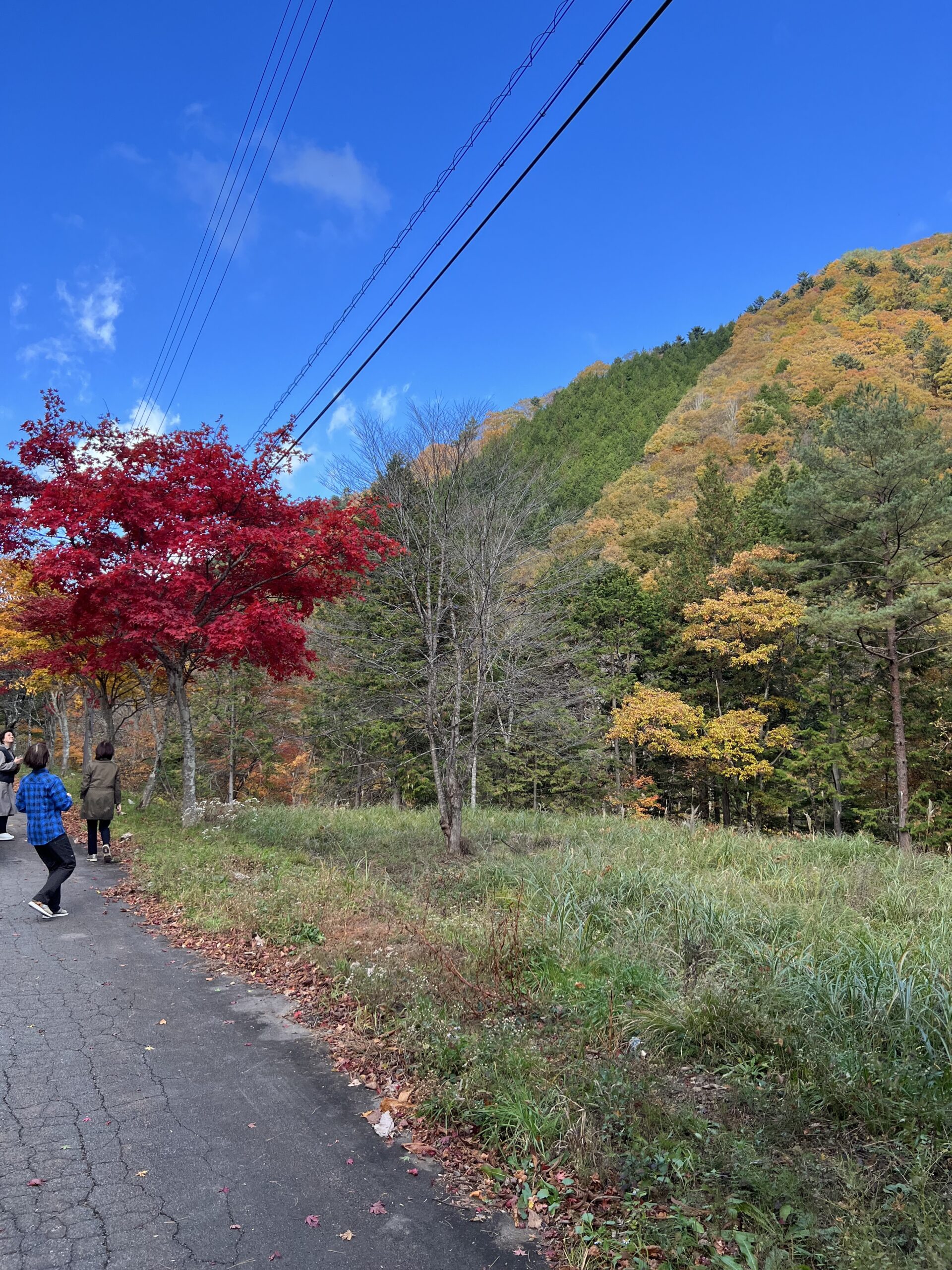
After that we got on our bikes and rode back to the road juncture we had passed on the way in yesterday, and headed up a long slope (many km) on a much busier road than usual. But, pretty indeed with fall colours as we were heading into the Japanese Alps.
the road at the bottom
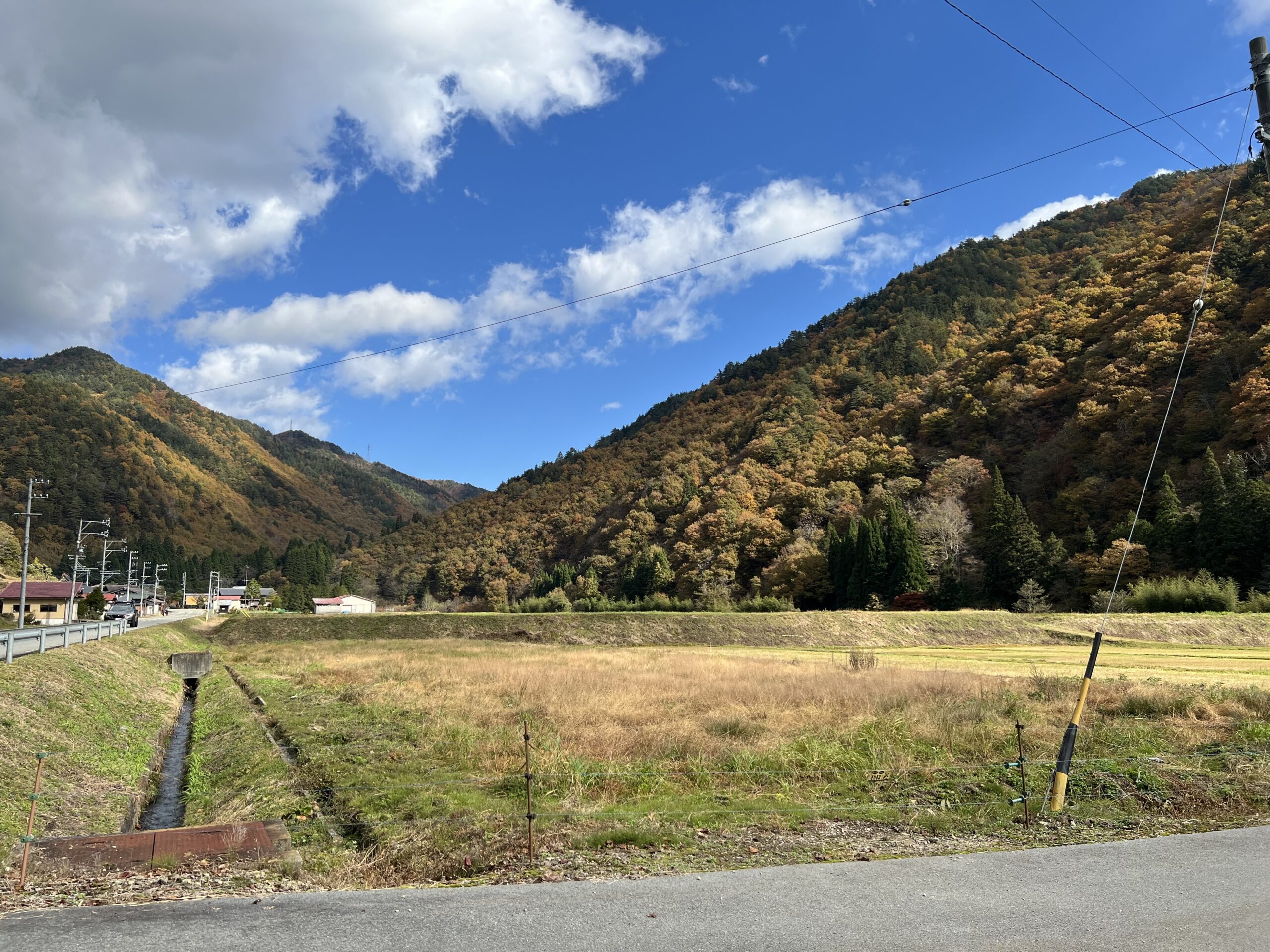
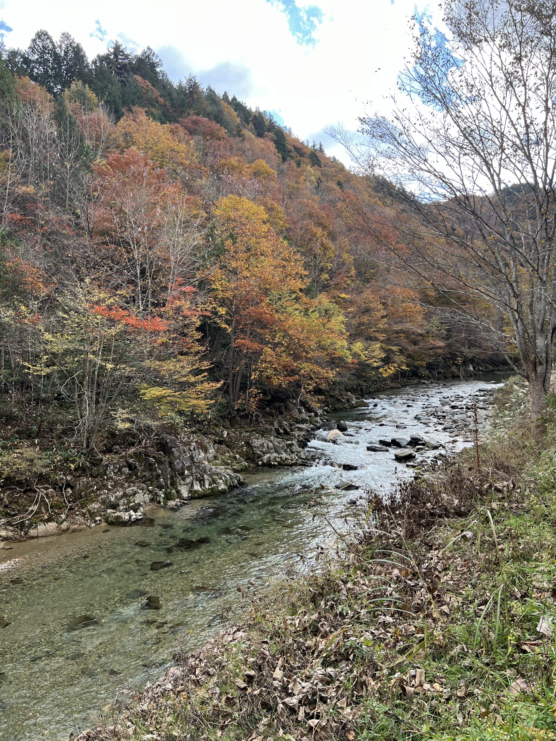
We followed a river a good part of the way which provided lovely scapes – unfortunately couldn’t stop often enough due to narrow shoulders.
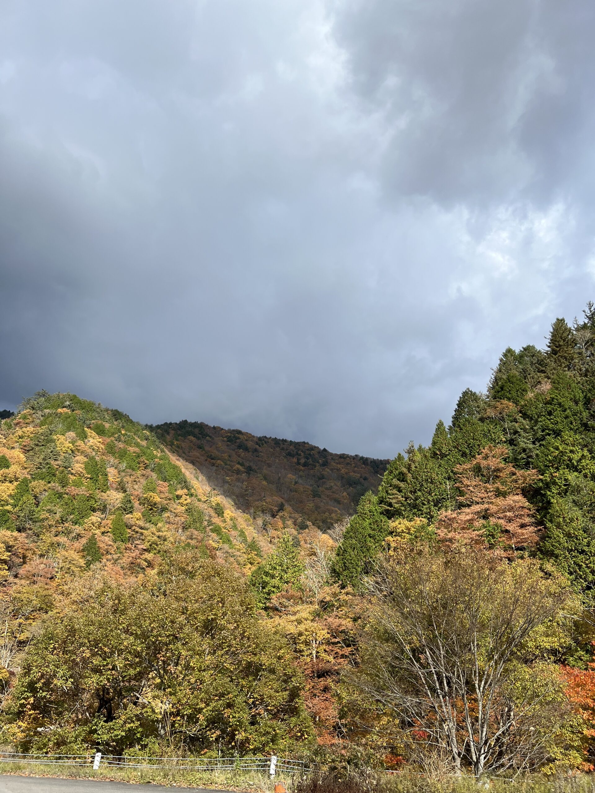
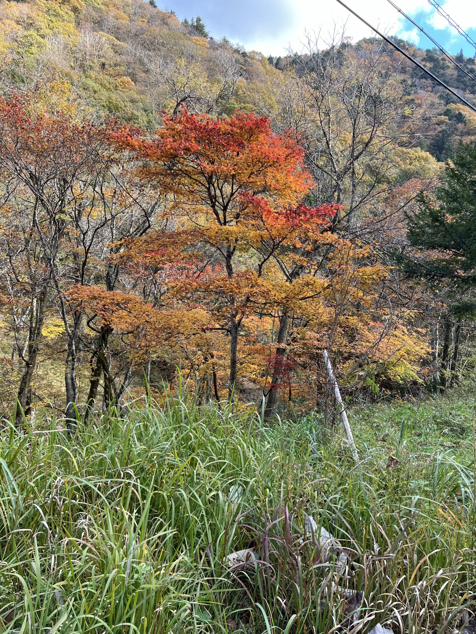
The higher we got, the better the leaf colour became! We did have some clouds, so the colours faded during grey skies.
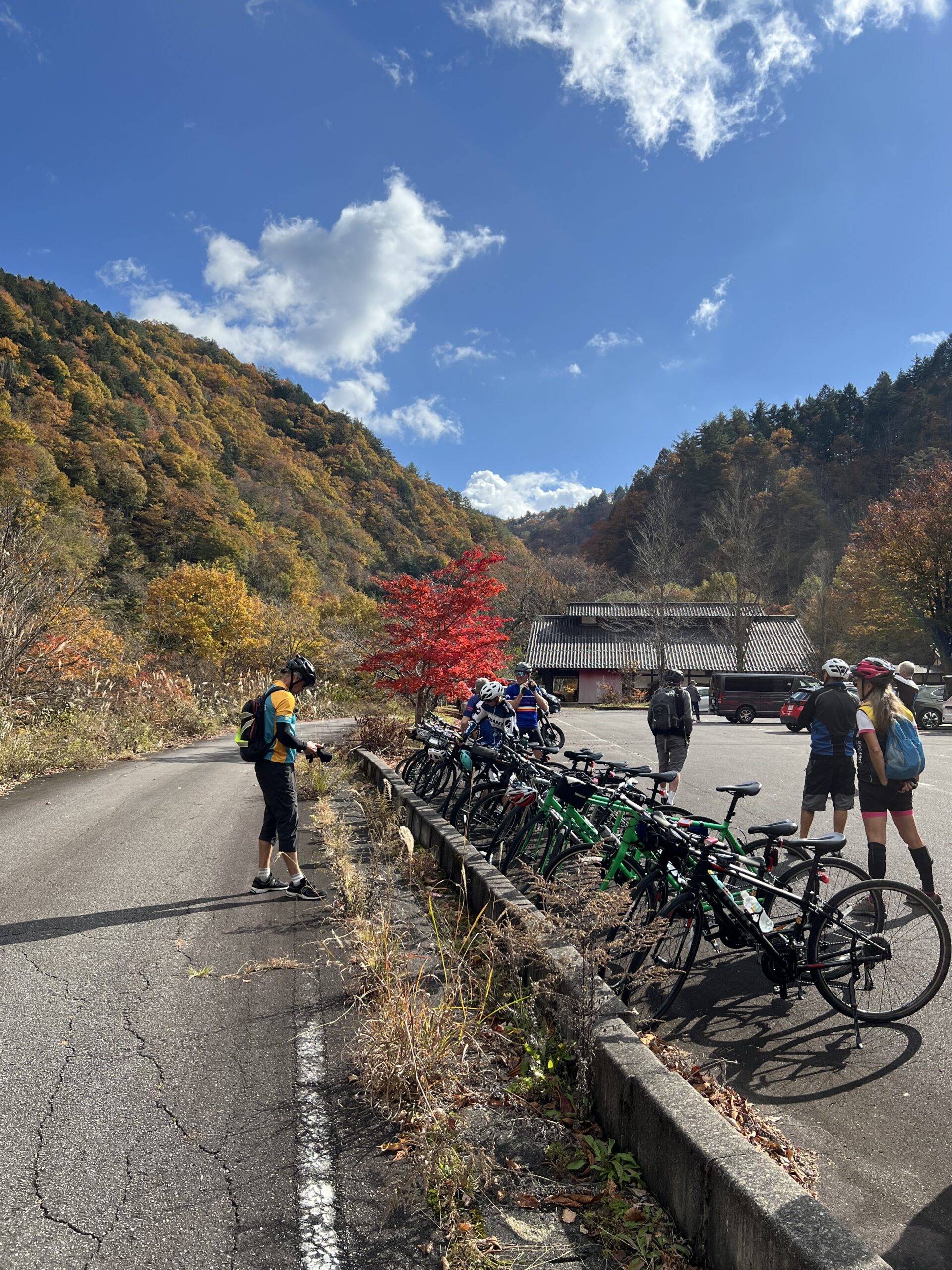
The tour leaders were very fastidious about parking bikes neatly at every rest stop. The van would be there with water, drinks and snacks; “Mannu’s café”
everyone was cursing the motorcycle driver who parked just under these trees….
There was a tunnel here, but also a road around which we were able to take to avoid riding in the tunnel. It was gorgeous!
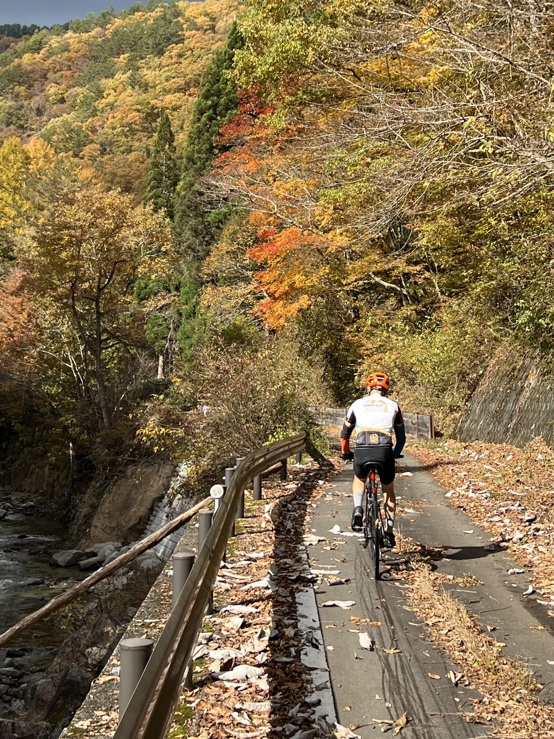
The river is again down below on the left. I was frequently behind because of picture taking!
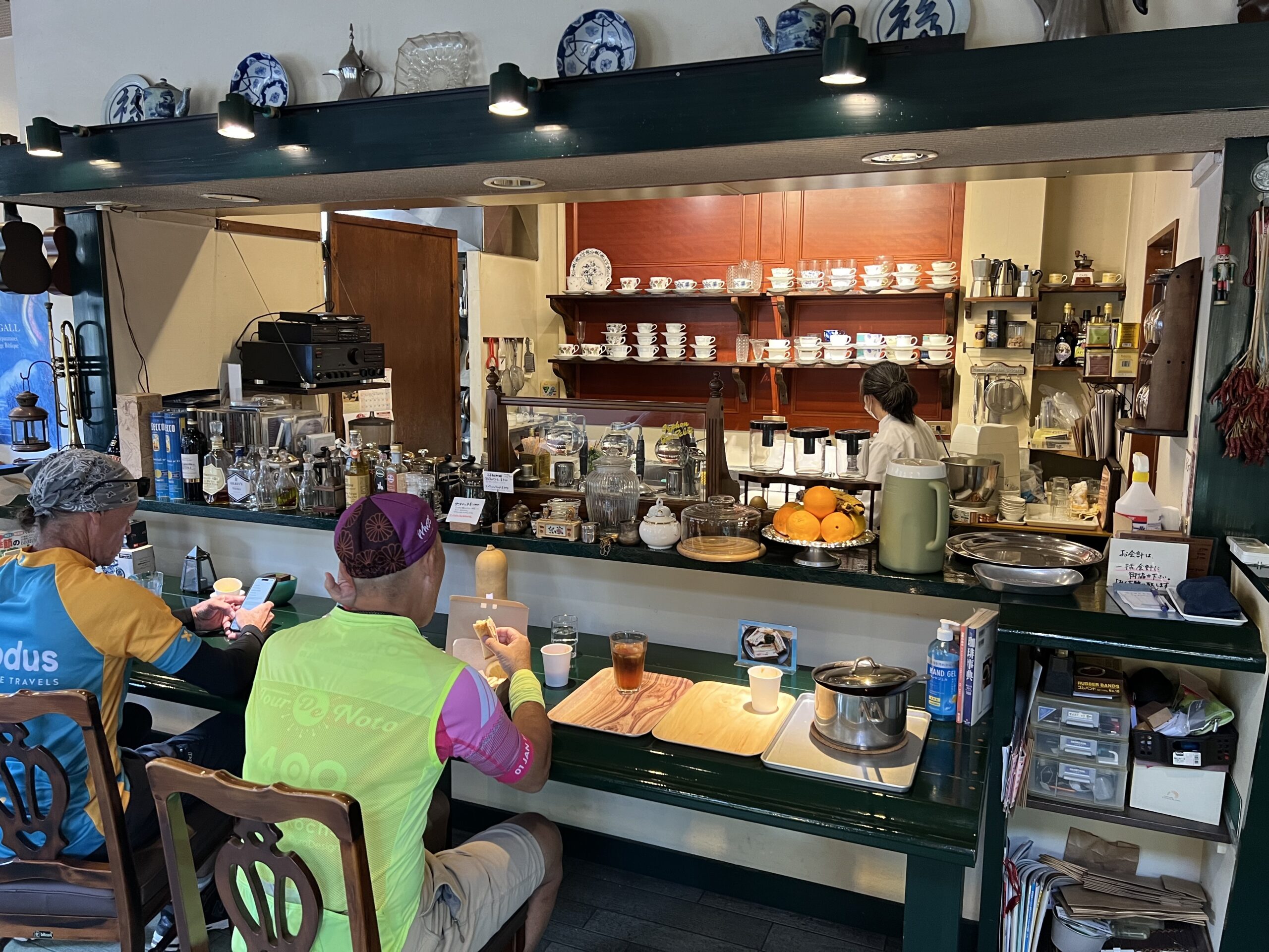
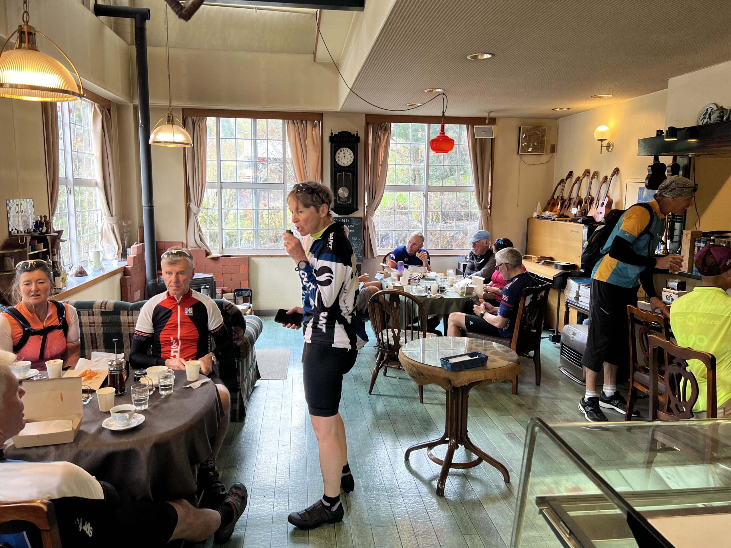
We had a short morning and an early lunch, at a café in the middle of nowhere that Tsusyen has been using for a long time. The owner/chef had a stroke and his wife, who is better at pastry, took over; she is struggling so they continue to support her with trips every two weeks. They phone ahead a preset order. It was a lovely place, with gorgeous china and we had tomato soup and sandwich which was very good, albeit early in the day. We were also warned that we eat early because there is a big dinner at night today…
After lunch we headed uphill (reminiscent of Mongolia!) for the more serious part of the climb. We all agreed at the top that it had been undersold – it was actually quite a stiff climb.
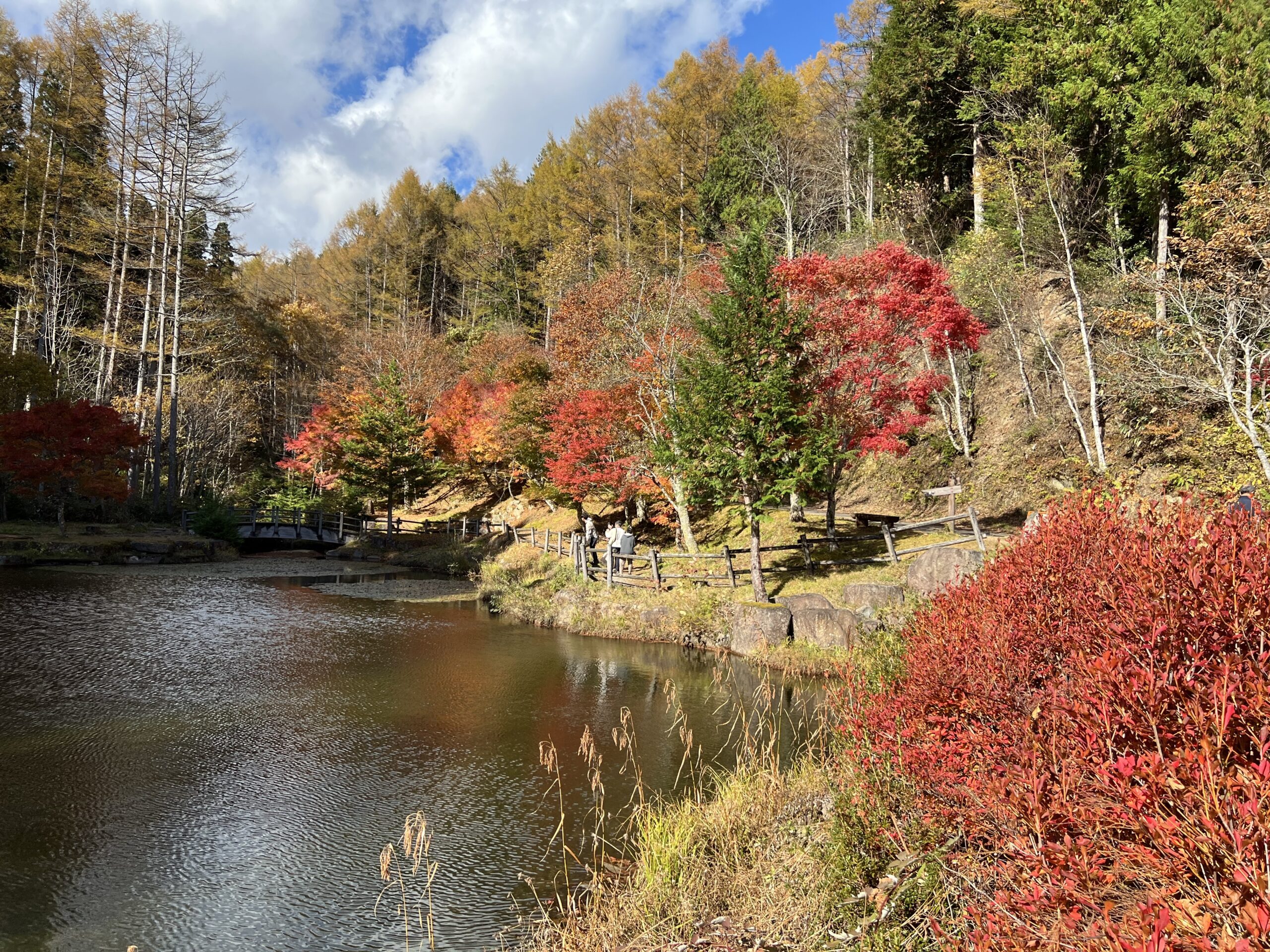
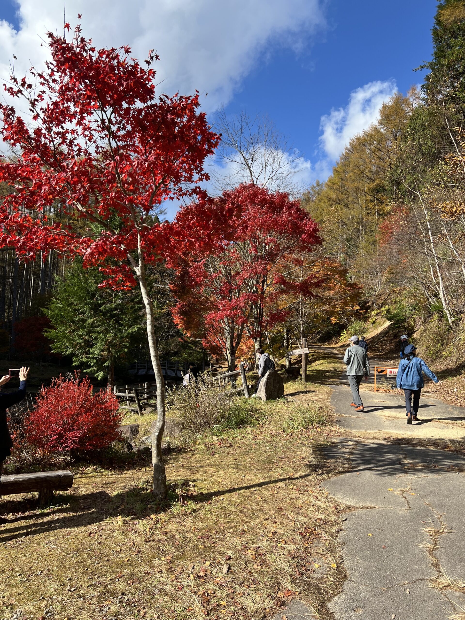
As I was going slowly today because of my cold, I asked and got permission to head out early while people were still getting organized and whipped out smartly. I rode a little up the hill and then realized I’d left my wallet and phone behind so had to go down again, much to the confusion of those now starting up. I’d actually left them in the van, it turns out, but it made the hill tougher as I worked harder to catch up… it was good to see the top! There was a reflection pond with some lovely colours up there, well worth the pedal.
Many tourists here too, taking pictures and driving the roads to see the leaves. They were all surprised to see a long line of cyclists!
We donned coats for the tunnel (2 km done all together) then the descent down, which was steep in sections, and long! It was hard again not to stop and take a lot of pictures…
and several others had the same idea at any pullout – we did have a little advantage over cars, being able to pull over when there was a shoulder.
It was a “free ride” again at our own speed and we photographers at the back leap frogged each other, and the lantern rouge was solidly held this time by Gordon, 79, on the e-bike as he is a cautious descender. We reassembled at the bottom, where it was much warmer, and some of us crossed to the gelato shop across the road – yummm. Chestnut gelato… definitely earned it today!
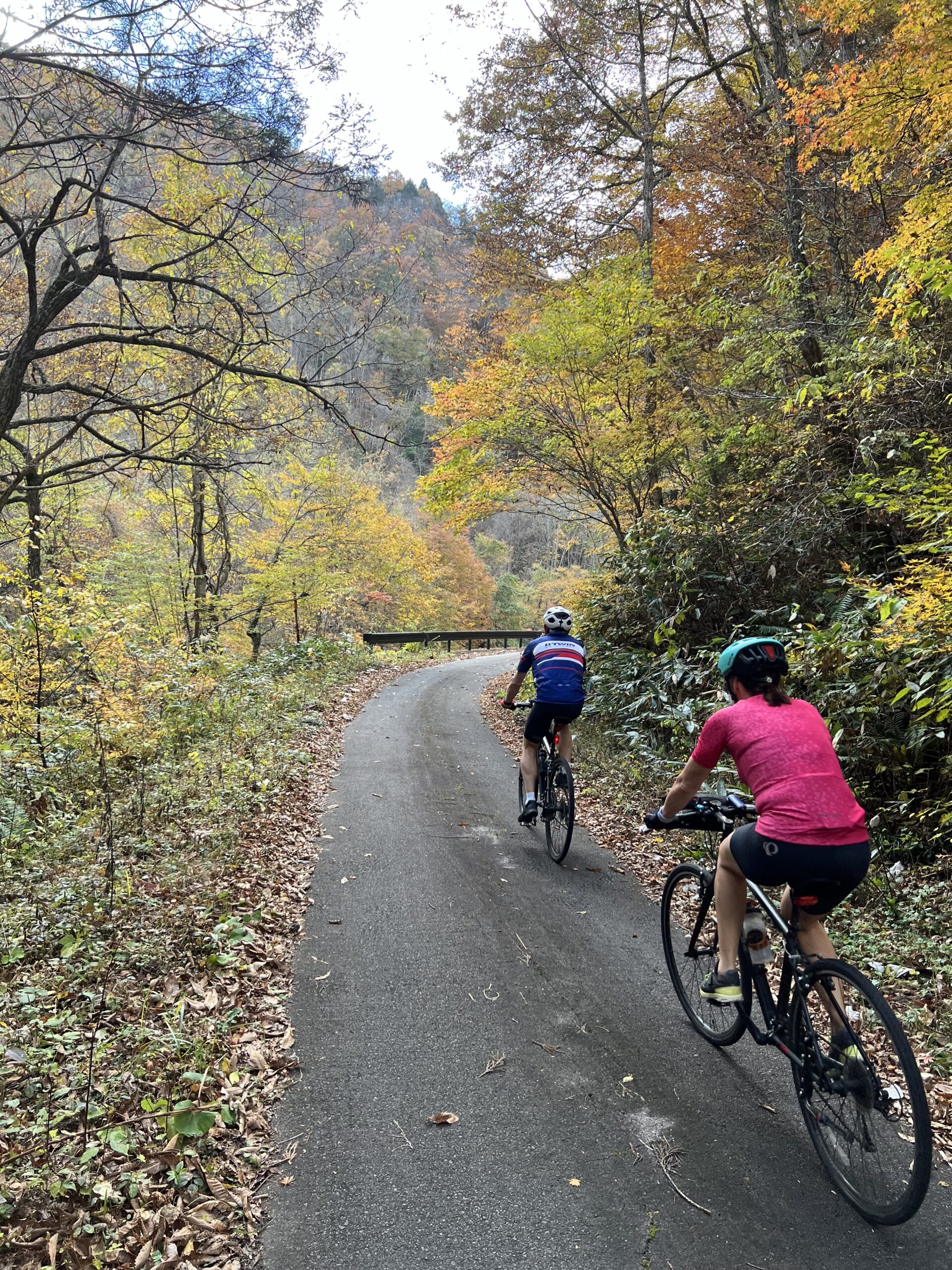
We managed to get off the highway onto a lovely country road through a beautiful forest, and some quiet villages for part of the way into town – nice to get away from the traffic! There were some gorgeous gardens and houses on the way in.
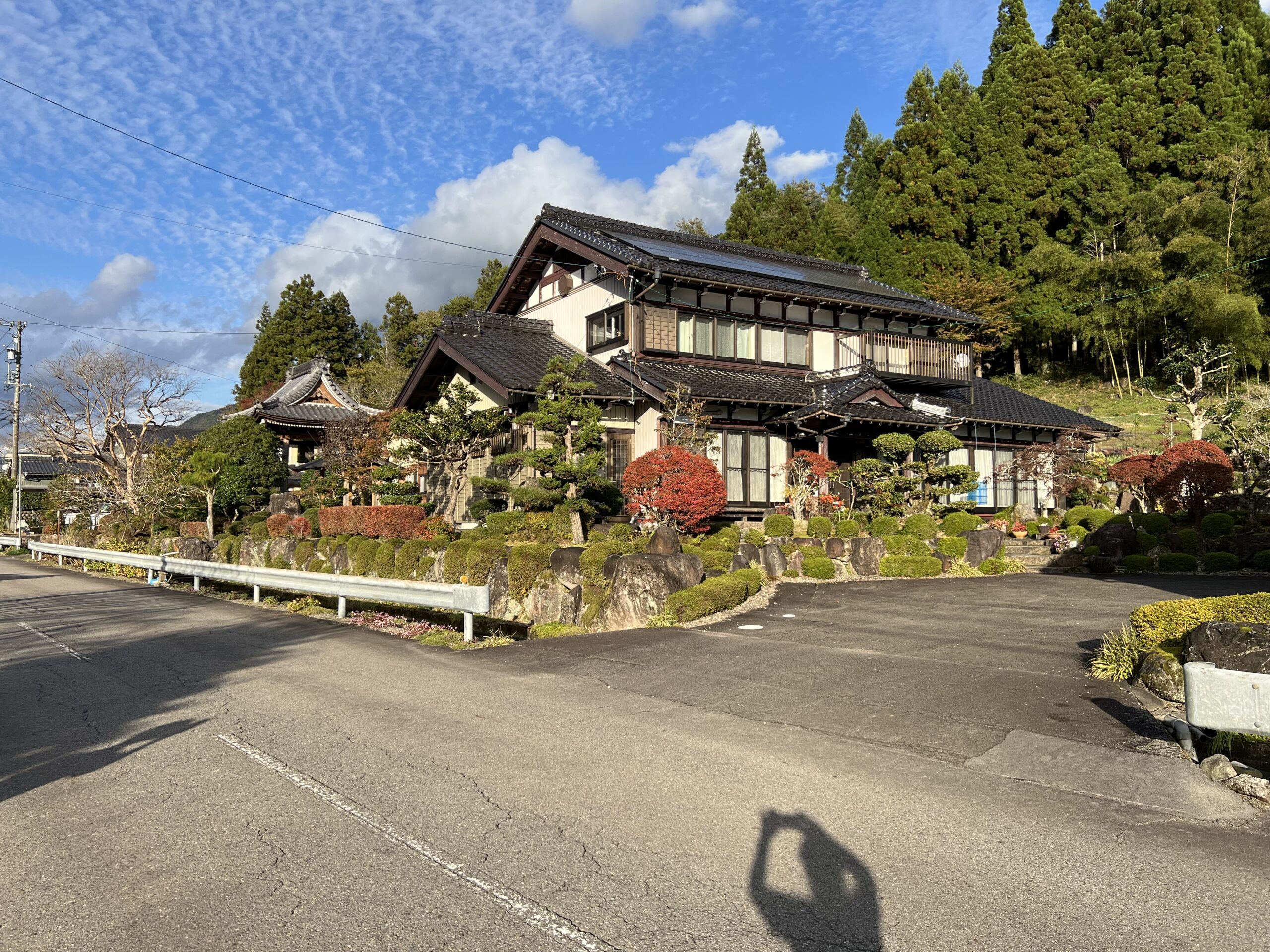
We were at our accomodation about 3 p.m., a fairly fast ride for the distance and elevation gain. There seemed to be a bit of a snafu with the single rooms and it took a while to sort it out, but eventually got in and none of us could figure out why there were no lights – none of the switches worked. Unlike card hotels, this one had a key and an orange block; there is a space marked in orange “in” where the orange block goes in to activate the lights. You learn something new every day….
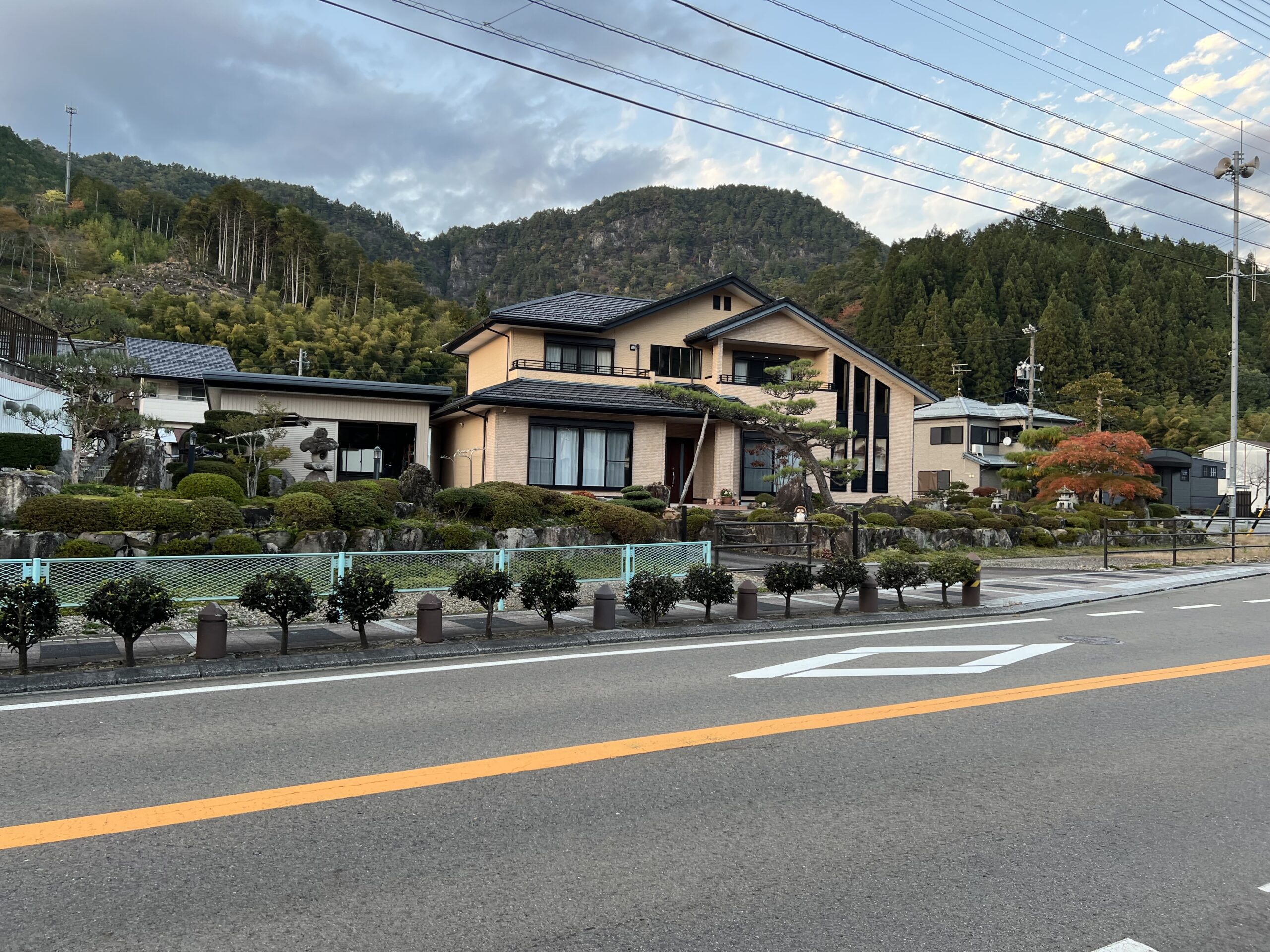
I went for a walk through town after changing and doing the obligatory handwash, and discovered a very prosperous looking little village with some attractive houses.

beautifully shaped trees and attractive gates
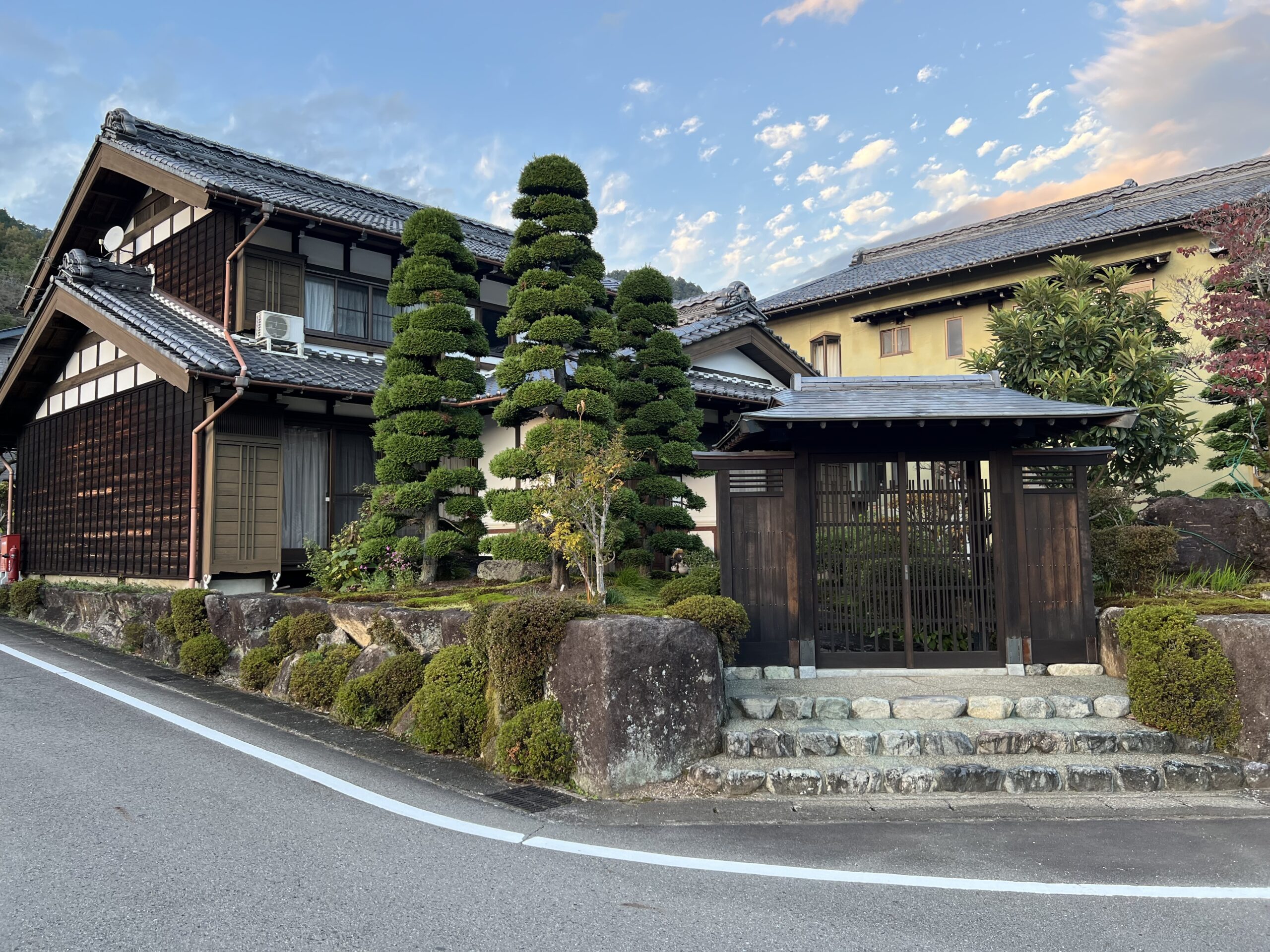
lots of conifers – the winters are quite harsh in this region.
A visit to the onsen, apparently the last one we have in our accomodation, was welcome for the tired muscles. Yesterday’s was the nicest, but even today’s plain one is a blessing! We will miss these.
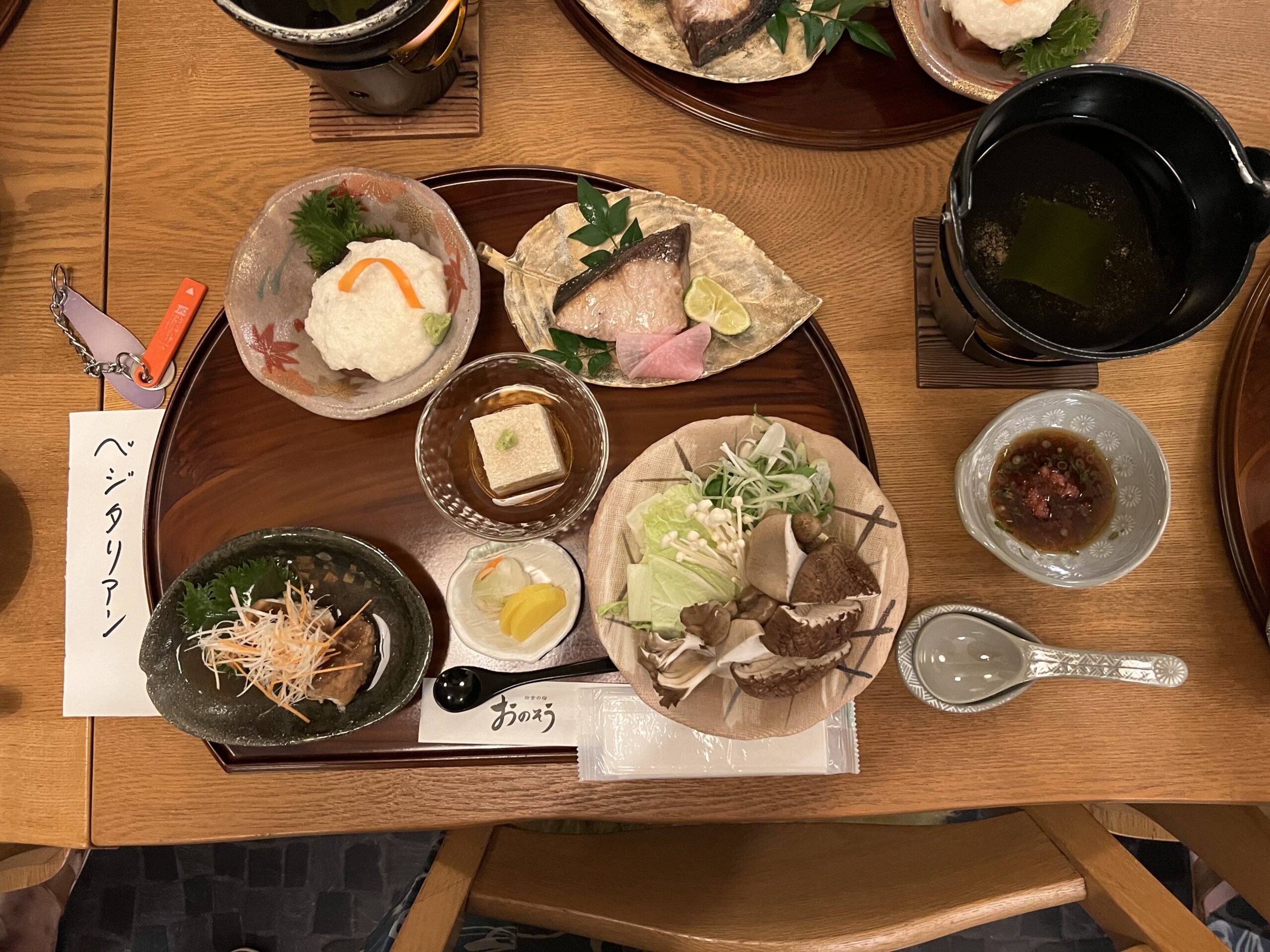
dinner was a lot of new things, almost all delicious – not sure I’m in love with the gelatinous slimy texture of the mountain yam (upper left) but the raw tuna hidden underneath was fabulous. Persimmon for dessert.
Today’s highlight: no brainer, the leaves
Mileage today; not sure why it’s not uploading to strava… dicey internet here, I think. My GPS seems to consistenly under-report what the Brits get, even despite my extra bit of hill! The profiles are certainly helpful when it comes to going uphill – there is a measure to the end that can be used to maintain hope and also gauge exertion needed. My bike computer reports 68.6 km and 659 m elevation gain, which I would say felt about right.